The sky above us is no longer just clouds and stars—it’s a complex network of satellites, aircraft, and atmospheric phenomena that shape our view and our future. ✈️
🌍 Understanding Our Crowded Skies
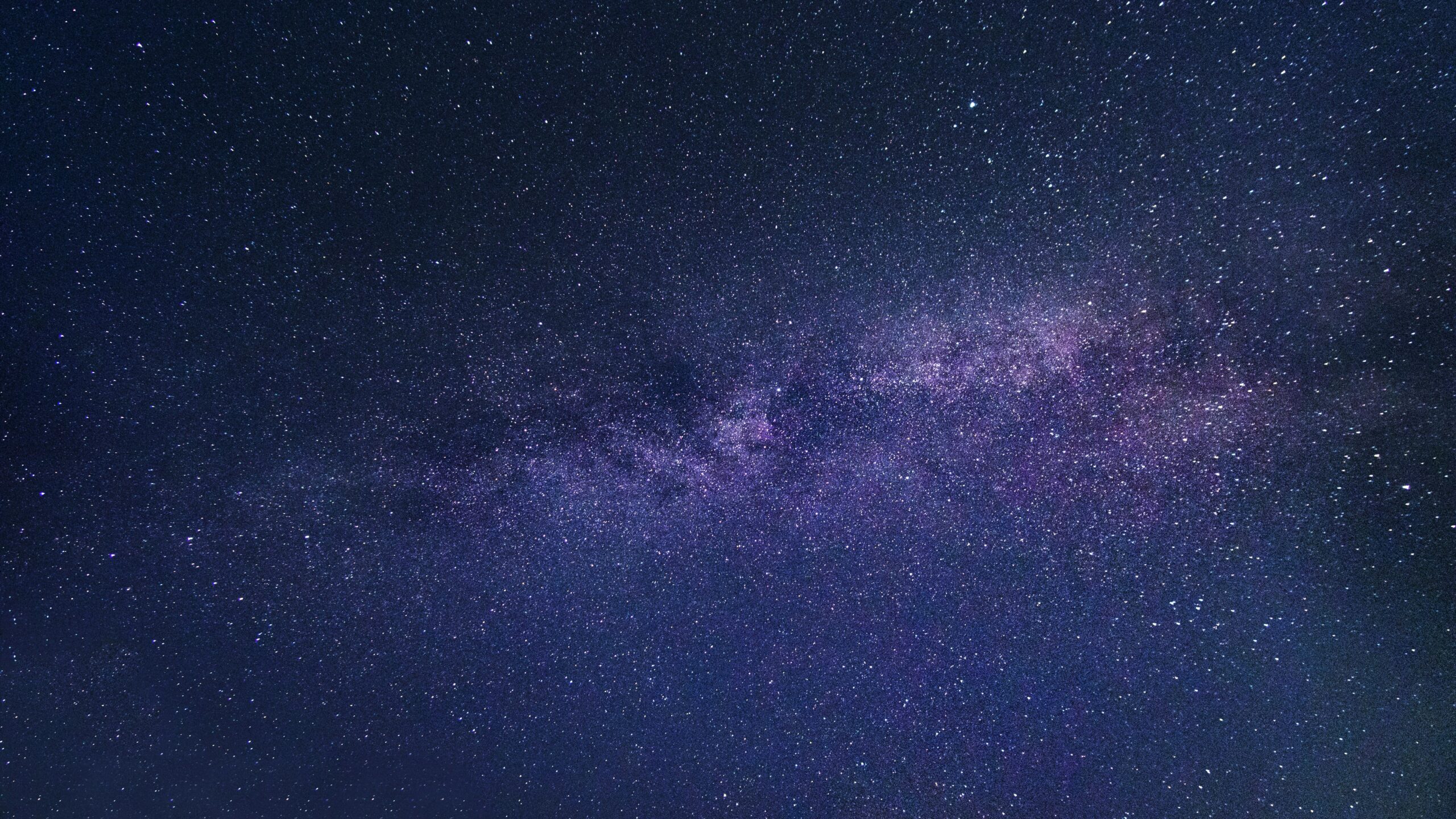
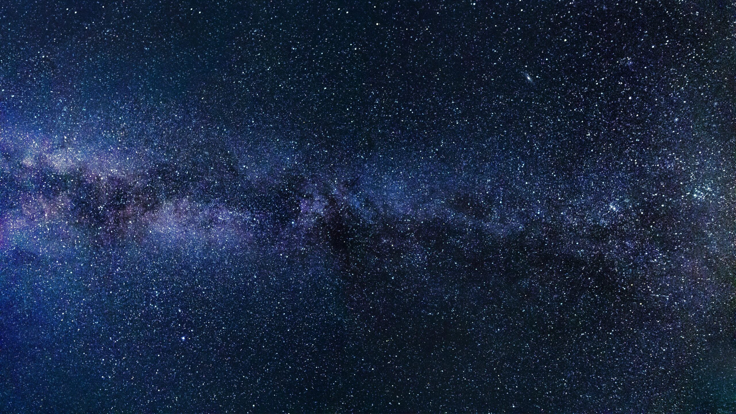
When we look up, we’re witnessing an increasingly busy airspace. Thousands of satellites orbit Earth, commercial flights crisscross continents every second, and the trails they leave behind create patterns that affect everything from astronomy to climate science. The intersection of human technology and natural atmospheric conditions has created a new frontier that demands our attention and innovative solutions.
The modern sky is fundamentally different from what our grandparents experienced. With over 8,000 active satellites currently in orbit and tens of thousands of daily flights, the atmosphere has become humanity’s newest frontier for both opportunity and challenge. Understanding how these elements interact is crucial for everyone from casual stargazers to climate scientists, pilots to policymakers.
🛰️ The Satellite Revolution: Blessing and Challenge
Satellites have transformed modern life in ways most people don’t fully appreciate. From GPS navigation to weather forecasting, from global communications to environmental monitoring, these orbiting machines have become indispensable infrastructure for our connected world.
The current satellite population includes various types serving distinct purposes. Communication satellites enable our smartphones and internet connectivity. Earth observation satellites monitor climate change, track deforestation, and help farmers optimize crop yields. Scientific satellites study everything from cosmic radiation to ocean temperatures.
The Mega-Constellation Era
Companies like SpaceX, OneWeb, and Amazon are launching mega-constellations—networks of thousands of satellites designed to provide global internet coverage. Starlink alone plans to deploy up to 42,000 satellites. This represents an unprecedented transformation of near-Earth space.
While these constellations promise universal internet access and bridging the digital divide, they also present significant challenges:
- Light pollution affecting astronomical observations
- Increased collision risks and space debris concerns
- Interference with radio astronomy
- Visual impact on the night sky experience
- Regulatory and coordination complexities
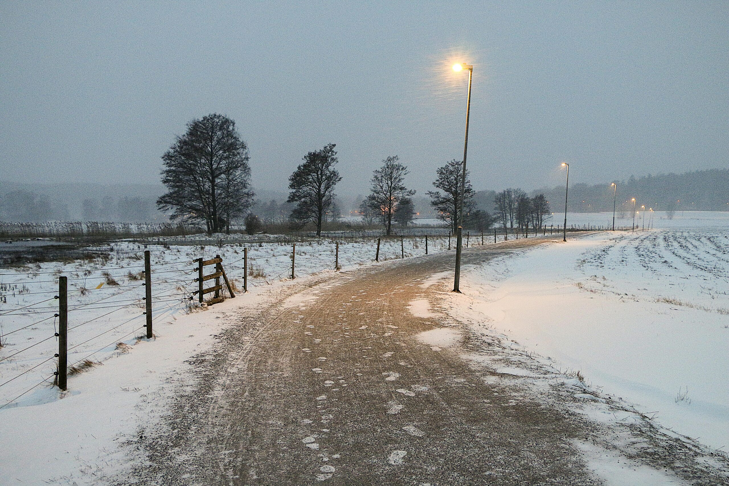
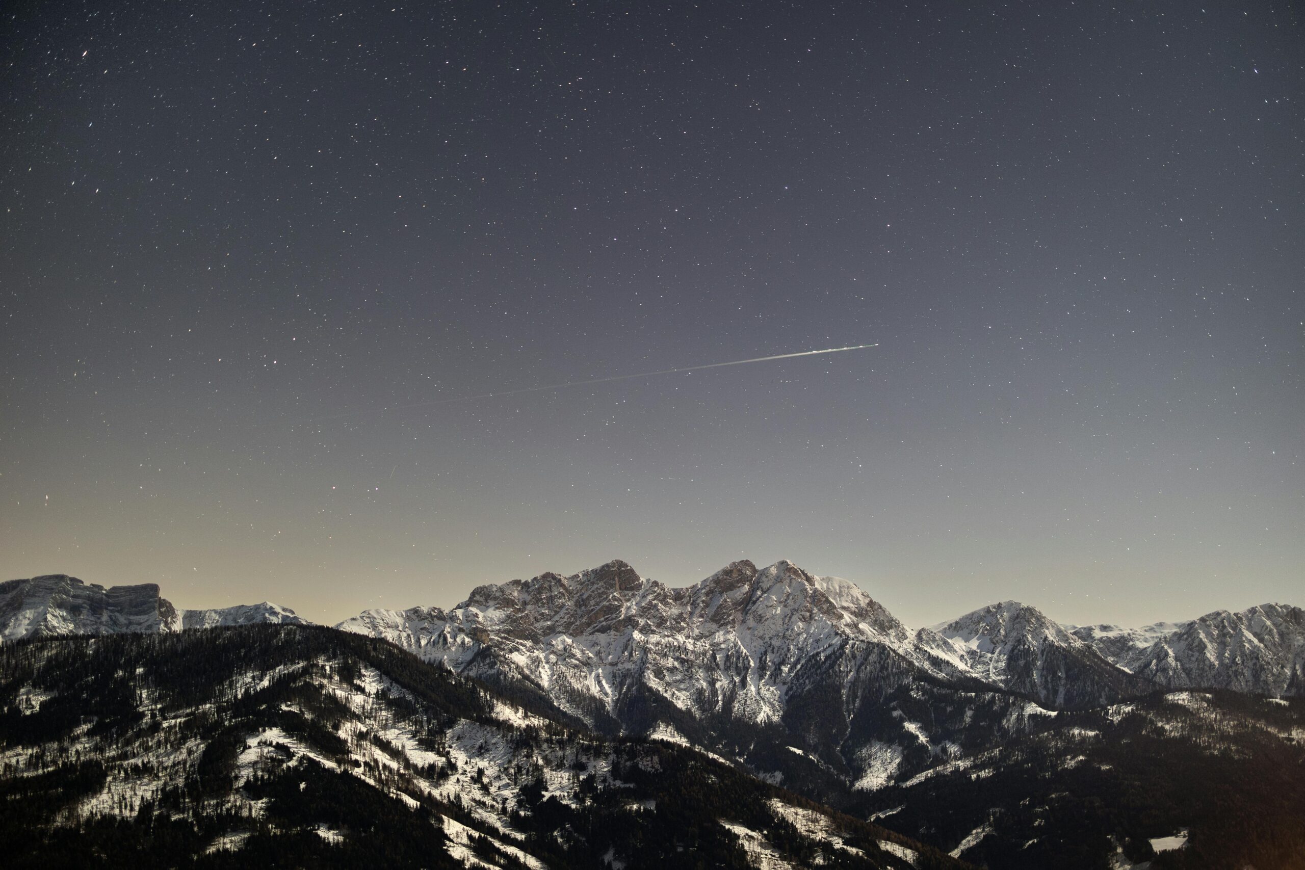
✈️ Contrails: The Visible Footprint of Aviation
Those white lines stretching across the sky aren’t just water vapor—they’re contrails, short for condensation trails, and they have a more significant impact than most people realize. Contrails form when hot, humid exhaust from aircraft engines meets cold, low-pressure air at high altitudes.
The science behind contrails is fascinating. When conditions are right—typically when ambient temperatures drop below minus 40 degrees Celsius and relative humidity is high—water vapor from jet exhaust instantly condenses and freezes into ice crystals. These crystalline formations can persist for hours or even spread to cover large portions of the sky.
The Climate Impact Nobody Talks About
Research indicates that contrails and the cirrus clouds they sometimes evolve into may contribute significantly to global warming. Unlike CO2 emissions, which remain in the atmosphere for decades, contrails have an immediate but temporary warming effect by trapping outgoing infrared radiation.
Studies suggest that aviation’s contrail-induced cloudiness might contribute as much to climate change as the industry’s direct CO2 emissions. This realization has sparked intense research into contrail avoidance strategies and alternative flight paths that minimize their formation.
🔍 Sky Tracking Technology for Everyone
Understanding what’s happening overhead has never been more accessible. Numerous applications and platforms now allow anyone to identify satellites, track flights, and learn about atmospheric phenomena in real-time.
For satellite tracking, apps like Heavens-Above and ISS Detector help users spot everything from the International Space Station to Starlink trains. These tools use your location to predict when satellites will be visible, often down to the exact second.
Flight tracking has become equally sophisticated. Applications provide comprehensive data about aircraft overhead, including flight number, altitude, speed, aircraft type, departure and destination airports, and even estimated arrival times.
🌤️ The Push for Clearer Skies
Multiple stakeholders are working toward solutions that balance technological progress with environmental and scientific concerns. The challenge isn’t choosing between advancement and preservation—it’s finding innovative ways to achieve both.
Darkening Satellites
Following complaints from astronomers, SpaceX and other operators have begun testing darker satellite coatings and experimental visors to reduce reflectivity. These “DarkSat” and “VisorSat” variants represent important steps, though perfect solutions remain elusive.
The astronomy community has also adapted, developing software algorithms to identify and remove satellite trails from telescope images. While not ideal, these computational approaches help mitigate impact on scientific research.
Smart Contrail Management
Airlines and researchers are exploring several approaches to reduce contrail formation:
- Adjusting flight altitudes by just 2,000-4,000 feet to avoid ice-supersaturated regions
- Developing weather forecasting models that predict contrail-forming conditions
- Optimizing routes in real-time to minimize climate impact
- Researching alternative fuels that produce less water vapor
- Investigating aircraft design modifications to reduce ice crystal formation
Early trials show promising results. Studies indicate that avoiding contrail-prone altitudes on just 10-15% of flights could reduce aviation’s contrail warming effect by up to 50%, with minimal fuel cost increases.
🎯 Policy and International Coordination
The sky recognizes no borders, making international cooperation essential. Multiple organizations work to establish standards and best practices for space activities and aviation.
The United Nations Office for Outer Space Affairs (UNOOSA) coordinates international space policy, while the International Civil Aviation Organization (ICAO) sets standards for aviation. However, the rapid pace of technological change often outstrips regulatory frameworks.
Recent discussions have focused on creating “space traffic management” systems similar to air traffic control. Such systems would coordinate satellite deployments, track objects in orbit, and facilitate collision avoidance—all critical as near-Earth space becomes increasingly crowded.
🔬 Scientific Opportunities Amid the Challenges
Despite concerns, the proliferation of satellites and aviation activity also creates unprecedented research opportunities. The dense network of Earth observation satellites enables climate scientists to monitor our planet with remarkable detail and frequency.
Satellites track ice sheet melting, measure atmospheric composition, monitor ocean temperatures, and detect deforestation almost in real-time. This data has proven invaluable for understanding climate change and developing mitigation strategies.
Similarly, contrail studies have advanced atmospheric science, improving our understanding of cloud formation, ice crystal physics, and radiative transfer. This knowledge extends beyond aviation, informing broader climate models and weather prediction systems.
👥 What Individuals Can Do
While systemic solutions require industry and government action, individuals can contribute to clearer skies and responsible space use:
- Support organizations advocating for sustainable space practices and dark sky preservation
- Participate in citizen science projects tracking satellites and atmospheric phenomena
- Choose airlines committed to environmental responsibility and contrail reduction
- Educate others about the complexities of modern airspace
- Engage with policymakers on space and aviation environmental issues
Awareness itself is valuable. Understanding that the sky is both resource and environment helps frame discussions about how we use and protect it.
🚀 The Future of Our Airspace
Looking ahead, the trends are clear: more satellites, more flights, and more complex interactions between technology and atmosphere. But this future doesn’t have to be dystopian.
Emerging technologies offer hope. Next-generation satellites with lower albedo, advanced propulsion for precise orbital adjustments, and eventually, de-orbiting capabilities could minimize space environment impact. In aviation, electric and hydrogen-powered aircraft promise to eliminate contrails entirely while reducing emissions.
The Role of Artificial Intelligence
AI and machine learning are becoming crucial tools for managing complex airspace. Algorithms can optimize satellite constellations to minimize light pollution, predict contrail formation with increasing accuracy, and coordinate thousands of objects in orbit to prevent collisions.
These systems can process vast amounts of atmospheric data, satellite telemetry, and flight information to make real-time decisions impossible for human operators alone. As technology advances, AI-driven sky management may become as fundamental as GPS navigation is today.
🌟 Balancing Progress and Preservation
The fundamental tension between technological advancement and environmental preservation isn’t unique to airspace, but it’s particularly visible there—literally. Every satellite and contrail represents both human achievement and environmental impact.
The solution isn’t rejecting progress but pursuing it thoughtfully. This means designing satellites with dark skies in mind from the start, not as an afterthought. It means investing in contrail research with the same enthusiasm as new aircraft designs. It means recognizing that the sky is shared infrastructure requiring collective stewardship.
Companies, governments, scientists, and citizens all have roles to play. Industry must prioritize sustainable practices alongside innovation. Policymakers need frameworks that encourage responsible development while protecting scientific and environmental interests. Researchers must continue advancing our understanding of atmospheric and orbital dynamics. And individuals should stay informed and engaged.
🎓 Educational Imperatives
Perhaps most importantly, we need broader public understanding of these issues. Most people remain unaware that satellites affect astronomy, or that contrails influence climate. Education initiatives that explain these connections help create informed constituencies who can advocate for appropriate policies.
Schools should incorporate space sustainability and atmospheric science into curricula. Public observatories and science museums can highlight both the wonders and challenges of modern airspace. Media coverage should go beyond celebrating launches to examining their broader implications.
💡 Innovation as the Path Forward
The challenges facing our skies are significant but not insurmountable. Human ingenuity created these problems; human ingenuity can solve them. The key is maintaining focus on solutions rather than becoming paralyzed by complexity.
Promising developments emerge regularly. Researchers are testing contrail-eliminating fuel additives. Engineers are designing satellites that de-orbit cleanly at end-of-life. Astronomers are developing adaptive optics systems that compensate for satellite interference. Each innovation brings us closer to skies that serve human needs without sacrificing their natural wonder or scientific value.
The story of satellites and airplane trails is ultimately about choices—how we choose to expand our presence in near-Earth space and atmosphere, and whether we do so with sufficient wisdom and foresight. Clear skies, both literally and metaphorically, require conscious decisions to balance competing interests and embrace solutions that serve multiple goals.
As we navigate this new era of busy skies, success will be measured not just by technological achievements but by our ability to preserve what makes the sky worth looking at in the first place. The stars that guided our ancestors, the atmospheric beauty that inspires artists, and the scientific discoveries that expand human knowledge—all deserve protection as we reach ever higher. 🌌